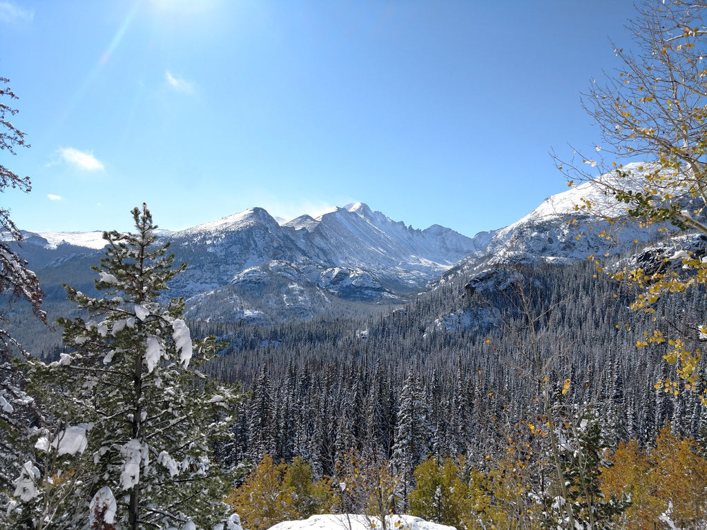
The Icy Ins-and-Outs of Rocky Mountain NP (by Mike Baker)
Rocky Mountain National Park, surrounded by three National Forests and one Wilderness Area, fully deserves its designation as one of North America's 29 World Biosphere Reserves. It is certainly one of the country’s premier National Parks as well. Only a few hours from Denver, it’s accessible via Boulder and the Peak to Peak Highway through Nederland/Ward. If you happen to find yourself in Estes Park, RMNP is just to the southwest, making for tempting shots of the park's interior before even entering the gates!

After orienting one's self at the Beaver Meadows Visitor Center, it's easy to access some of the best hiking trails in the park at Bear Lake. But if you’re there during the elk rut, your hiking plans might be delayed by a compulsion to stand awestruck by the sight of massive bull elk grazing or sitting, as this one did just 100 yards from the visitor center.


Once the excitement of numerous elk sightings wears off– keep your eyes on the road, drivers, because everyone else has theirs on the elk– try driving up the winding Bear Lake Road through Glacier Basin to pass by picturesque Sprague Lake. You will eventually reach the Bear Lake parking lot. Even in mid-October (when this trip was taken), there can be significant snowfall, making for a scenic winter wonderland that can be enjoyed without the need to soil one’s boots.


Sitting just beneath the Continental Divide at 9,450’, Bear Lake has a loop trail that provides a scenic half-mile of almost completely flat hiking. Standing at the shore, a glance west affords you a view of chunky Hallett Peak rising over the ridge. Looking south, you can peer up Glacier Gorge and past East Glacier Knob in the foreground to Chief’s Head and Pagoda Mountain in the distance, flanked on the left by Longs Peak and on the right by Thatchtop.


Once around the lake, the trailhead points the way up to Nymph Lake, which is another half-mile away. Once there, the triangular-shaped lake provides a secluded view of the shoulders of Otis Peak– but taking the trail above Nymph overlooking Tyndall Gorge offers one of the most spectacular views in the whole park (especially when fall foliage mixes with recent snowfall). And if you’re sharp-eyed and still for long enough, wildlife (of the non-elk variety) might make an appearance, such as the Rock Ptarmigan (Lagopus muta).


Following the trail farther up the gorge brings you to a fork. One path leads to Lake Haiyaha, which sits right at the beginning of the alpine region above the timberline. However, most opt to cross Tyndall Creek to see Dream Lake. At this elevation (~10,000'), it’s wise to dress appropriately– leaving hiking poles, proper boots, technical clothing, or crampons behind can make for a miserable, slippery trudge when snow and ice cover the trail and logs used for crossing water. Snow and fog cast an other-worldly pallor over the view at Dream Lake, which sits just 95’ shy of 10,000’. The conditions can make it tough to arrive at this spot, but the view makes it even tougher to leave!


Depending upon weather conditions, another route enjoyed by hundreds of visitors each year is the drive on Trail Ridge Road, which connects the eastern side of the park to the lesser-visited western side. Though "Many Parks Curve" is a popular attraction, the weather conditions are sometimes just right to allow the less-popular overlook at Rainbow Curve to remain open. Just barely above tree line, the overlook offers a magnificent view north of Ypsilon Mountain, Fairchild Mountain, Hagues Mountain, and Mummy Mountain.

But if the snow closes the road, another option is to backtrack down near Beaver Meadows Visitor Center and explore Moraine Park, which contains several remnants of the area’s glacial past. Cub Lake Trail is an easy hike that winds itself around a knuckle of rock that extends out into the flat valley. It’s not uncommon to see black bears in this area, so when in bear country, it's always a good idea to ensure all food is properly stored in bear-proof containers (preferably in a hiking partner's pack!) When leaving Moraine Park, it’s impossible to miss the majesty of Longs Peak itself to the south, which stands out at 14,259’ as the highest point in the park.

A good way to end a day in the park is to drive through Horseshoe Park en route to the Fall River Visitor Center. During the rut, giant herds of elk can be seen gathered at Sheep Lakes in the foggy, snowy landscape.

← Older Post Newer Post →

